
Eridu
Early southern Mesopotamian settlement built around a long sequence of temples. Later Sumerian tradition remembered Eridu as the first city to receive kingship.
Eridu survives as a low, eroded mound in southern Iraq, far from the monumental appearance that the word "city" often suggests. Its mud-brick buildings have weathered into the surrounding plain. Yet the mound preserves a long sequence of occupation beginning in the sixth millennium BCE, centuries before writing appeared in Mesopotamia.
Later Sumerian tradition placed Eridu at the beginning of urban history. In the Sumerian King List, kingship descends from heaven first at Eridu. That literary claim was written long after the settlement began and cannot be treated as a dated record of its foundation. It does reveal how later Mesopotamians imagined the site's antiquity and religious importance.
A settlement shaped by water
The ruins now stand in an arid landscape, but early Eridu developed near freshwater marshes within the changing delta of the Tigris and Euphrates. Waterways, reed beds, seasonal wetlands and open channels influenced where people lived and how they obtained food and building materials.
The first communities farmed, kept animals, fished and gathered wetland resources. Irrigation helped people work soils that could be productive but difficult to manage. Reeds supplied mats, baskets, roofing and small boats. Mud was available almost everywhere and became the main material for houses, walls and temples.
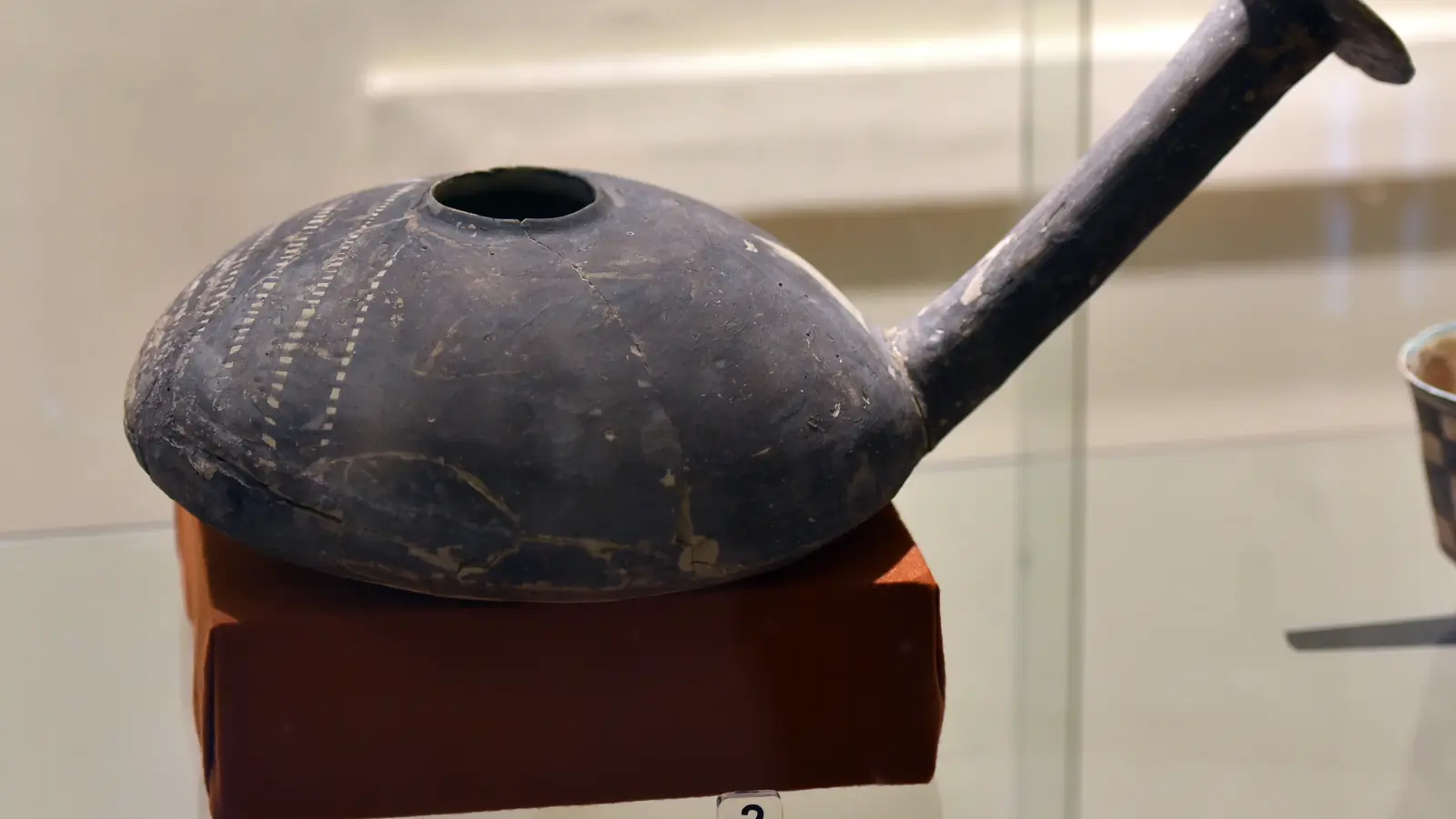
These conditions supported the Ubaid culture, named after the nearby site of Tell al-Ubaid. From roughly the sixth to fifth millennia BCE, communities across southern Mesopotamia shared forms of painted pottery, architecture and social practice. The pattern spread far beyond the southern plain, but it was never a single uniform state. Eridu belongs to the period when some villages were growing into larger, more organised settlements.
Temples rebuilt on the same ground
Excavators uncovered a sequence of buildings repeatedly constructed in the same sacred area. Early phases were modest rectangular rooms. Later buildings became larger and more formally arranged, with central halls, platforms, buttressed walls and spaces that controlled movement.
Each rebuilding raised the centre above its surroundings. Old walls were levelled or filled, and a new structure took their place. Over many generations this created an artificial mound within the wider settlement. The famous ziggurats of later Mesopotamian cities did not appear fully formed at Eridu, but the repeated elevation of a temple on one location helps archaeologists follow the deep history of monumental religious architecture.
The sanctuary was later associated with Enki, or Ea in Akkadian, a deity linked with freshwater, wisdom, craft and creation. Mesopotamian stories placed Enki's dwelling in the Abzu, the fresh water believed to lie beneath the earth. At a marsh-edge settlement dependent on carefully managed water, that association carried particular force.
Archaeology cannot identify the beliefs of the earliest inhabitants from later myths alone. The temple sequence begins long before surviving texts name Enki. It is safer to say that the location remained sacred for an exceptional length of time and that later communities understood it through the cult of Enki.
Was Eridu really the first city?
Calling Eridu the world's first city makes a strong headline but hides a difficult definition. Early settlement began there around 5400 BCE, and its temple sequence is among the most important in Mesopotamia. Other places, including Uruk, later developed much larger populations, dense neighbourhoods, bureaucratic institutions and the earliest known writing.
Urban life did not begin at one precise moment. Villages acquired communal buildings, specialised work, social distinctions and regional connections at different rates. Eridu documents part of that process. Its importance lies in the unusually long archaeological sequence and in the way later Mesopotamians placed it at the origin of kingship and ordered society.
The settlement also changed in scale. It never became a metropolis on the size of Uruk. Religious importance could outlast political or demographic power, and a place did not need to be the largest city to remain central in cultural memory.
Excavation and a vulnerable landscape
Twentieth-century Iraqi and British excavations exposed the temple sequence, houses, pottery and cemeteries. Excavation produced knowledge, but it also removed protective layers from mud-brick walls. Once exposed to rain, salt, wind and temperature changes, earthen architecture can deteriorate rapidly.
Most excavated remains at Eridu were reburied for protection, while the later ziggurat remains visible. This means visitors see less architecture than appears in old excavation photographs. Reburial is not neglect. It can be the most responsible way to preserve fragile walls when permanent shelters and maintenance are unavailable.
Eridu, Ur and Uruk were inscribed with four marshland components as the Ahwar of Southern Iraq World Heritage property in 2016. The combined listing restores a relationship often lost in modern photographs: the first cities of southern Mesopotamia developed beside a shifting wetland system. Rivers moved, marshes contracted, water became saline and the coastline changed. Those environmental transformations contributed to the rise and decline of settlements across the plain.
Eridu is visually quiet, but its layers hold a long experiment in settled life, communal building and sacred memory. It is best understood neither as a mythical first city nor as an empty mound. It is one of the places where people repeatedly remade the physical and social centre of a community beside the ancient marshes.