
Pyramid
Huaca del Sol
Peru
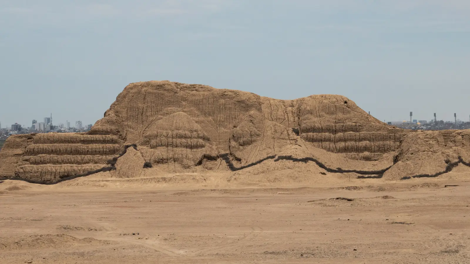
Massive Moche adobe platform near Trujillo. Colonial-era looting, including the diversion of the Moche River, destroyed a large part of the monument.
Atlas record
Research in progress
This page currently preserves the site’s location, period, classification, and image while its full history is researched and edited.
Read the published site historiesLocation